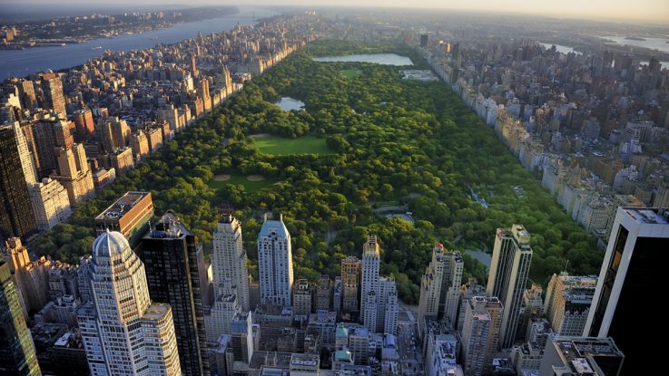
Planting trees in cities is a low-tech strategy to help fight the effects of climate change and the urban heat island effect. Trees have also been shown to be a boon for public health by helping to reduce stress.
Cities have conducted tree counts in the past in order to aid in planning urban forestry maintenance and future plantings, but the projects have been expensive and very time-consuming. New York City’s 2015-2016 tree census, for example, took nearly two years (12,000 hours total) and more than 2,200 volunteers to complete.
In order to streamline this process, a team of cartographers and applied scientists at geospatial analytics startup, Descartes Labs, is using artificial intelligence to map an entire city’s canopy to create a green thumbprint of each city. Prior mapping systems have faced a number of problems: the Normalized Difference Vegetation Index (NDVI) that is derived from satellite imagery can’t tell the difference between trees, grass, bushes, and other kinds of greenery; and LIDAR data, which can measure height, is expensive because of the costly equipment involved. Descartes Labs used publicly available data sets to train their machine learning model.
“Using the NDVI and the LIDAR, those two datasets can tell us where trees are in an area. If there are satellite pictures, we can train an algorithm to say, ‘Okay, looking at that imagery, I can learn what trees look like,’” Kyle Story, an applied scientist at Descartes Labs, said. “Once you’ve trained that algorithm, you can run it anywhere you have satellite imagery, because you’ve taught your machine to differentiate them from bushes and grass.”