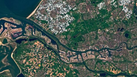
What are you using to plan for the smart cities of the future? Having access to real location intelligence helps you identify areas for development, pinpoint potential problem situations, and track property assets over time and remotely. Aerial data helps better inform and guide decisions to eliminate project workflow inefficiencies, tighten project timelines, and can help save lives . In government, the collaboration between aerial imagery and GIS data is critical—it vastly improves the quality of life for all individuals occupying a given geography.
In this webinar you will learn:
- How using Nearmap’s rich aerial location content — 3D, ortho, and oblique — can help empower your government planning with smarter data
- What benefits you can derive from Nearmap’s Artificial Intelligence, such as how it easily it integrates into GIS platforms
- What integrations are available for GIS, CAD, CAMA, and other third party applications
- Who uses Nearmap 3D data, customer use cases, and testimonials