Reproducing events in the virtual world can be challenging – calling for creativity and, very often, new uses for technology. The city of Grapevine, Texas is known for its annual Christmas parade and found a way to safely hold it during the COVID-19 pandemic using geographic information systems technology.
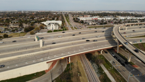
Usually featuring a procession of floats, this year the city held a “reverse parade,” with the floats remaining stationary while people drove past in their cars. The city used one of its GIS tools, called Nearmap, to measure the roads and determine where traffic and floats would be positioned. Betsi Chatham, the GIS (Geographic Information System) Manager for the city’s Information Technology department, said that by using GIS the planning time was reduced from days to just a few hours. The city was able to use the tool to access aerial imagery to plan the route and ensure that the festivities could proceed in a way that would allow people to social distance.
“We had details down to exact curb-to-curb measurements that enabled police and law enforcement to plan for potential emergency responses and high resolution images of streets to share with residents,” Chatham stated.
Since April of this year, Nearmap has made its aerial imaging technology available free of charge to state, local, and county health officials, and government agencies for COVID-19 relief effort planning.
“We appreciate the tireless efforts of our health and government officials in setting up testing sites and providing other resources to the public during this unprecedented time,” said Rob Newman, CEO of Nearmap. “Nearmap is pleased to play a part in assisting these agencies as they continue to plan relief efforts nationwide. We hope this service will be a valuable resource in supporting safe, accurate planning while minimizing the amount of time required to be on-site.”