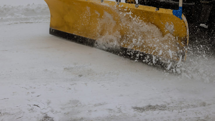
The Municipality of Umeå in northern Sweden has added a new feature to its official website called “plow map.” As the city hosts two universities, pedestrians and cyclists are very common. Due to cost and resource restrictions, Umeå can neither perform snow removal and anti-skid control simultaneously nor immediately throughout the city. City authorities, therefore, must prioritize any streets, pedestrian paths, and cycling lanes that have the greatest need. The priorities are created based on consideration of gender equality, the environment, and residents’ health.
The plow map’s purpose is to show the people which walking and cycling paths in the city have been recently cleaned and de-iced. This feature functions almost in real-time, as the map is updated with a 30-minute delay. It also shows which streets have not been recently repaired.
Before the introduction of the new digital tool, the city provided a ‘snow diary’ to let residents know what the situation was regarding obstructions caused by snow build-up on the streets and paths. This was not capable of providing up to the minute information.
The plow map is part of Umeå municipality’s long term goal called “Digital first!”, which states that digital transformation should be the first choice in all organizational development. As the snow map is a new feature, the city is actively inviting user feedback.
“We believe and hope that the map is a clearer and more practical support. Visually showing current work is easier than writing and manually updating a web page,” said Dag Brändström, street engineer at Umeå Municipality.