New York City’s FloodNet is a five-year project with a network of 500 sensors that will provide real-time data from areas in the city that see routine flooding. The project is a collaboration between the Mayor’s Office of Climate and Environmental Justice – which is leading the project – the FloodSense project at NYU, the CUNY Advanced Science Research Center (ASRC), and community partners in affected neighborhoods.
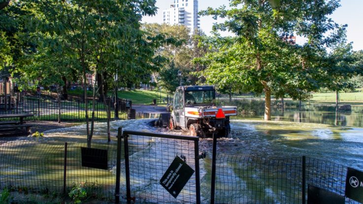
Currently, the city’s 311 helpline collects instances of flooding complaints, but the geographic tags for those complaints are approximations, and the data is not readily available to city agencies in real time. FloodNet’s sensors will provide information on the presence, frequency, and depth of hyperlocal street-level flood events. The data will be used for emergency preparedness, resiliency and transportation planning, and validating NYC stormwater flood models and future flood maps. Plans are in place to feed the data into an early warning system throughout the city, informing road closures or travel bans and alerting drivers to avoid flooded and dangerous streets; alert communities to the need for emergency preparedness and response; be used to identify areas the most urgently need post-storm assistance; and inform long-term storm water resiliency planning.
The sensors have been designed to be low-cost, open-source, and flexible with regards to multiple use cases and installation scenarios.
The city has also introduced the Community Flood Watch project – a network of residents and community groups that report and share resources related to flooding in their communities. Residents submit photographs and reports that document flood event timing, depth, location, and associated impacts. FloodHelpNY.org is a platform for engaging and informing New York City homeowners about how they can protect their home and finances from flooding.